Archaeological Field Work | 2010 Season - Surveying Harbor and Hinterland in the Mosfell Valley
The MAP Project of 2010 was largely infrastructure-oriented, initiating new specialist research projects and new field surveys. Much of the focus was on post-excavation activities such as the analysis of various data in collaboration with international researchers and work on the Geographical Information Systems (GIS) database.
Graphic Representation of the MAP Digital Humanities GIS Database Project.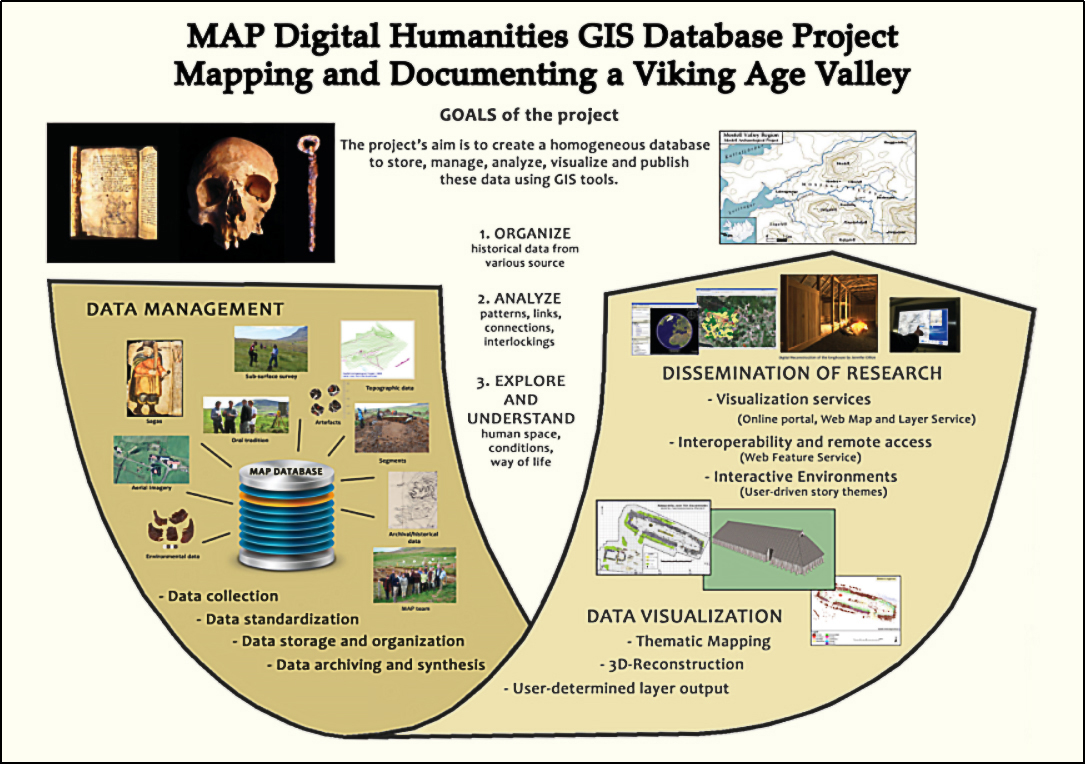
More specifically, new areas of the landscape of Mosfell Valley were surveyed and mapped, subsequently identifying new features of interest. Further test pits at Hrísbrú were planned and various analyses on recovered material culture from the longhouse took place. The Leiruvogur Harbor Research Project was also proposed and initiated between 2010 and 2011, which would commence with the archaeological examination of the harbor and the coastal landscape around it primarily through survey, test pits, artefactual analysis, and research on relevant written sources. Subsequent overarching goals were proposed revolving around a detailed study of geologic, oceanographic, and ecological data in relationship to the palaeo-landscape, the location and recovery of archaeological remains, and the ultimate desire to site and situate the harbour more fully within a Viking Age European trade network.
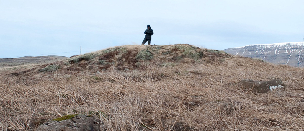
Some places in the valley, such as several mounds, were investigated with aerial photography, visual survey, and the consultation of textual sources.
Jesse Byock registering one of the mounds surveyed at Borg in 2010 and 2011.