Archaeological Field Work | 2015 Season - Cartography, GIS Digitalization, and Database in the Mosfell Valley
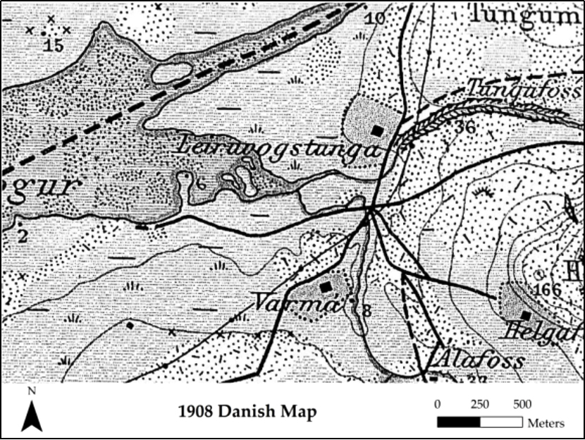
In 2015 special MAP work was put into the organization and implementation of an extensive GIS database covering the Mosfell Valley and Leiruvogur Harbor. Clearly, these sites have some relationship to one another, and the inclusion of both within the database helps to understand the nature of this relationship as well as external relationships relating to both. Indeed, the goal is to be as inclusive as possible. For example, roads, horse paths, and routes to the Althing were also implemented, and therefore the overall database is meant as a critical and substantial tool for analysis and not just a collection of significant features and objects for reference. Farmstead maps from the early 20th century are also considered in conjunction with this system.
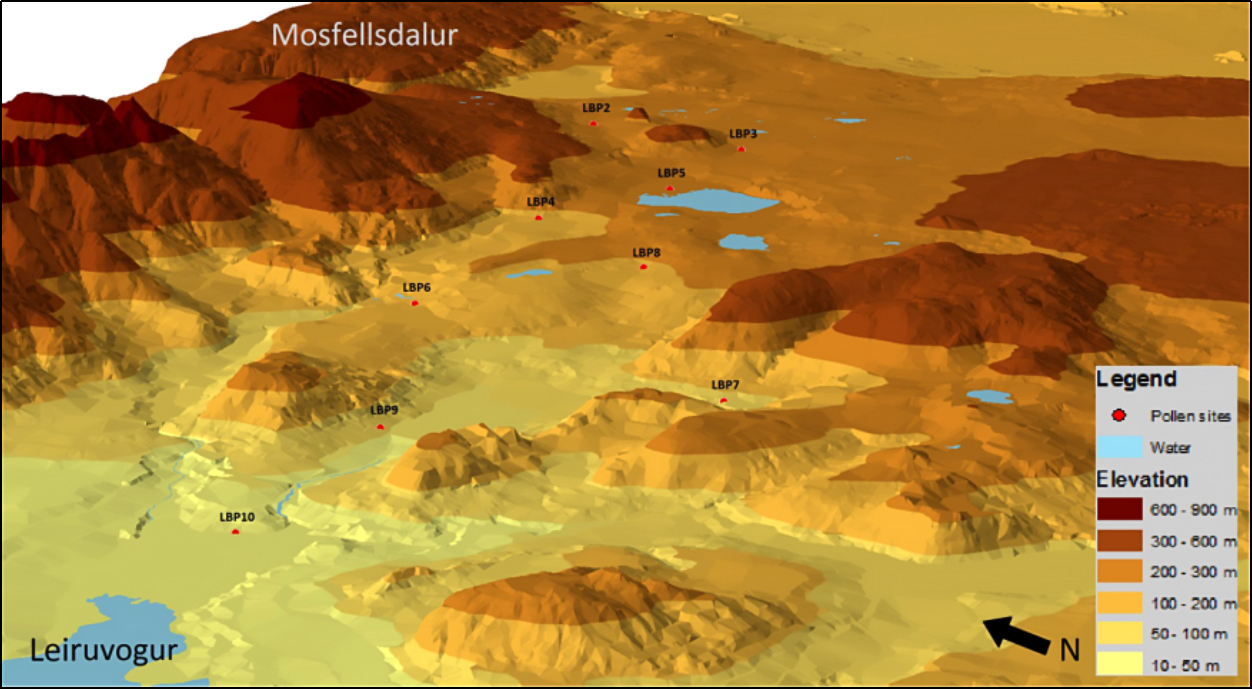
This database was in use since 2012 and was crucial for the excavations for that year and ever since. It includes digital elevation baselayers, aerial photographs, historical aerial photographs, historical maps, National Museum of Iceland survey data, MAP cairn survey data, old road mapping, excavation data, MAP site survey data, and individual find and sample data. Significantly, environmental data concerning geology, pollen, as well as archaeology was mapped into the database providing a more cohesive view of the landscape at large.