Archaeological Field Work | 2011 Season - Surveying Harbor and Hinterland in the Mosfell Valley
Many of the overarching objectives for the MAP Project of 2010 continued in 2011. Several of the paths of research of this prior year were continued, especially the Leiruvogur Harbor Research Project and the exploration of specific features of interest within Mosfell Valley. Post-excavation analysis on the longhouse floor layers was completed, revealing patterns of activity by people who spent time within the structure. Efforts to enhance the Geographical Information Systems database to digitally link data, objects, discoveries, maps, and sources, amongst other things, was furthered in 2011 with the construction and the setting in motion of a clearly defined framework and plan.
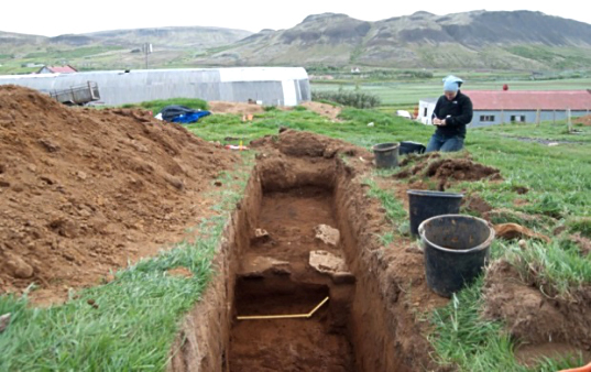
Significantly in terms of fieldwork, further excavation was performed in 2011 in contrast to the previous year which was largely characterized by survey. This fieldwork was the planned next step designed to follow the 2010 surface identification efforts. For example, test trenches were excavated near the longhouse at Hrísbrú in an effort to locate structures associated with the farmstead. This effort ultimately revealed the remains of a contemporary Viking Age building.
Sigrid Hansen, Björn Þórðarson, and Davide Zori at Hrísbrú during the excavation of Trench 2011-1.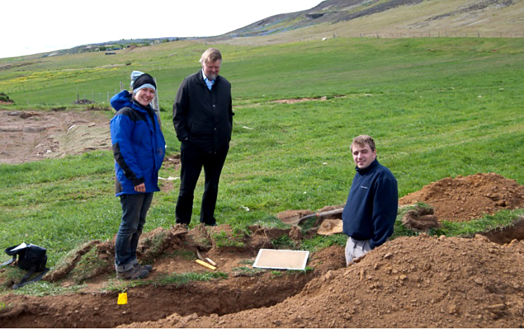
Furthermore, 2011 saw the hosting of a conference at UCLA with the priority of disseminating research results of the MAP.
